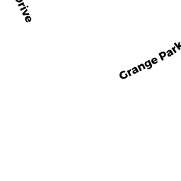
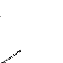
320 HARVEST LANE
Owner Information
BARRY DAVID F & LAURA J
320 HARVEST LANE
BRIDGEWATER, MA 02324


Property Details
320 HARVEST LANE is classified as a Single Family Residential (Colonial).
The primary structure on this property was built in 2003. There are 2,462ft2 of built area within this property. There is 2,462ft2 of residential/living space within this property. This property is listed as having 6 rooms.
320 HARVEST LANE is valued at $519,300. The land is valued at $157,500 and the structures are valued at $360,300. There is an additional valuation of $1,500 on this property.
The most recent deed for 320 HARVEST LANE is recorded at the local registrar in Book 25034, Page 145-46. 320 HARVEST LANE was last sold on Monday, May 5, 2003 for $467,410.
Assessment data from fiscal year 2021.
Flood Data
According to the FEMA National Flood Hazard Layer, this property does not appear to be in a flood zone. It may also be in an area not yet reviewed. Nonetheless, confirm this information prior to taking any action.
To view the flood hazards around this property, create a FEMA "Firmette" Map of the area around 320 HARVEST LANE.
Broadband Internet Providers
| Provider | Type | Bandwidth (mbps) | |
|---|---|---|---|
| HughesNet | Satellite | 25 | 3 |
| T-Mobile | Fixed Wireless | 25 | 3 |
| Comcast | Cable | 1000 | 35 |
| Verizon New England Inc. | DSL | 15 | 1 |
| VSAT Systems, LLC. | Satellite | 2 | 1 |
| Viasat Inc | Satellite | 100 | 3 |
| GCI Communication Corp. | Satellite | 0 | 0 |
Broadband service provider data from December 2020.
Adjacent Properties
- 270 HARVEST LANE
Single Family Residential owned by MCLAUGHLIN KERRY M & JOSEPH M TRUSTEES - 280 HARVEST LANE
Single Family Residential owned by MARTIN STEPHEN J & LINDA A - 90 HARVEST LANE
Single Family Residential owned by LAMBERT PAUL D & KRISTIN L TRUSTEES - 80 HARVEST LANE
Single Family Residential owned by LEVY BRIAN TRUSTEE